Our EUDR methodology
A best-in-class methodology grounded in technical excellence and over a decade of field experience
Meridia Verify’s EU Deforestation Regulation (EUDR) methodology sets the standard for actionable risk assessment and mitigation. It ensures your supply chain data is always reliable, audit-ready, and, for coffee and cocoa, tightly aligned with ICE CoT.
Our methodology goes beyond deforestation tests and data quality checks and verifies whether sourcing from protected areas and IPLC territories is lawful. Additionally, it flags human rights risks in your supply chain.
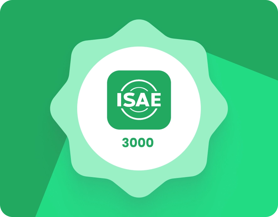
EY-approved, audit-ready
The Verify methodology is independently audited by EY in accordance with ISAE 3000 standards. This rigorous third-party validation ensures that clients can trust that every aspect meets international best practices and regulatory requirements, year after year.
Fully transparent & versioned
All tests, thresholds, and data sources are clearly documented, versioned, and accessible. You always know which criteria and datasets were used—making compliance validation and audits straightforward and dependable.
Advanced geospatial science and commercial deforestation maps
Verify utilises the latest commercial deforestation maps from Space Intelligence*.
*ICE CoT EUDR Deforestation Map. Produced by Space Intelligence for use in the ICE CoT platform. Licensed by ICE Benchmark Administration Limited
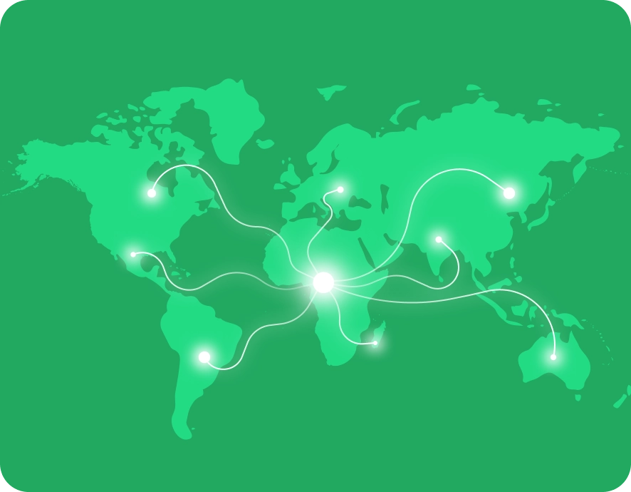
Locally tailored, globally compliant
Our risk assessments integrate international best practices, EUDR criteria, and peer-reviewed local data. Input from local authorities and organisations helps tailor risk profiles to reflect specific laws on land use, protected areas, indigenous peoples’ territories, and human rights, ensuring assessments that are accurate and relevant for each origin.

High-quality,
EUDR IS-ready data
EUDR compliance demands accurate farm-level geolocation. Verify’s robust tests—integrity, consistency, and plausibility—guarantee that farm plot geodata meets the EUDR information system (TRACES) requirements and passes their evolving, often undocumented, technical checks.
Field-tested and proven at scale
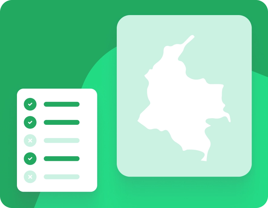
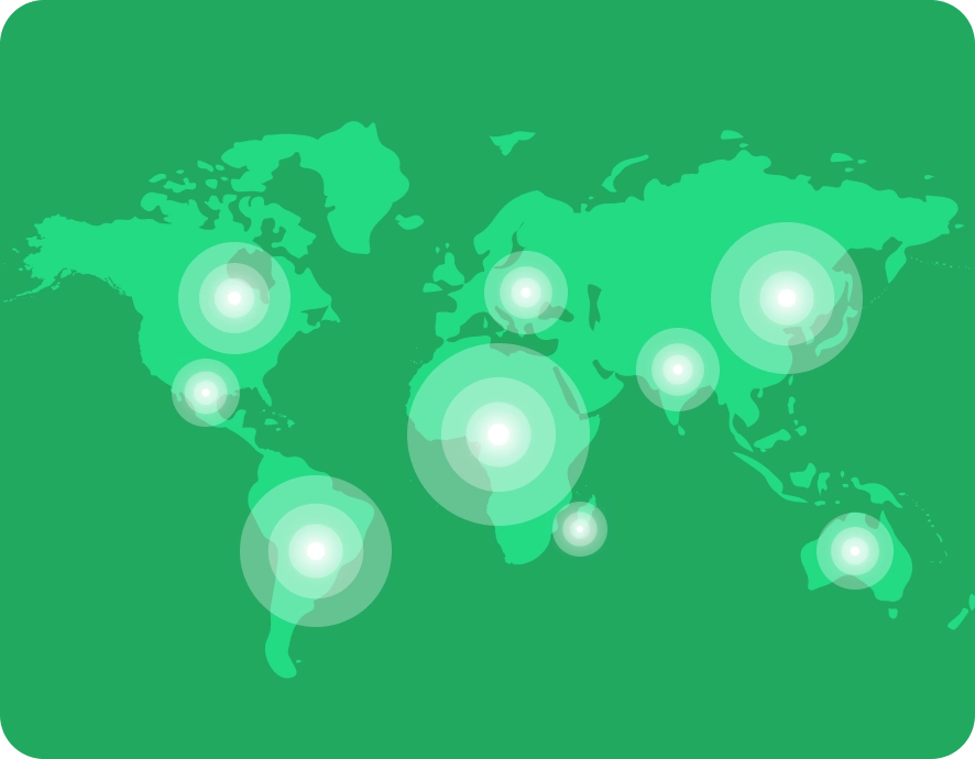
Our EUDR methodology benefits from over ten years of hands-on experience mapping, verifying, and supporting supply chains in 45+ origins.
Targeted remediation for high-risk suppliers
Enable your field teams and suppliers to mitigate risk on the ground with concrete actions for each critical risk and step-by-step guides. All in a format that's easy to follow, leveraging our decade of field experience.
How Verify assesses deforestation risks
Our assessments combine high-resolution satellite imagery, multi-temporal analysis, and local context verification to confirm or correct deforestation classifications. When discrepancies are found, such as land that appears forested but is actually agroforestry or permitted cultivation, we provide transparent evidence packages and documentation to support your due diligence process.
We use commercial deforestation maps from Space Intelligence*. Their team of over 50 scientists, ecologists, and AI specialists combines multi-sensor satellite data with advanced machine learning and field calibration to produce forest and non-forest maps aligned with EUDR definitions. These maps routinely achieve over 90% commission and omission accuracy even in complex smallholder landscapes.
Currently, these maps are exclusively available to users of ICE CoT and Meridia Verify, making Verify the only platform offering deforestation assurance with this level of scientific precision and regulatory alignment for EUDR-compliant trade.
*ICE CoT EUDR Deforestation Map. Produced by Space Intelligence for use in the ICE CoT platform. Licensed by ICE Benchmark Administration Limited.
Managing land use and legal risks in your supply chain
Producers must produce commodities in accordance with the relevant legislation of the country in which they operate. These laws cover many areas, including land use rights, environmental protections, labour rights, and human rights.
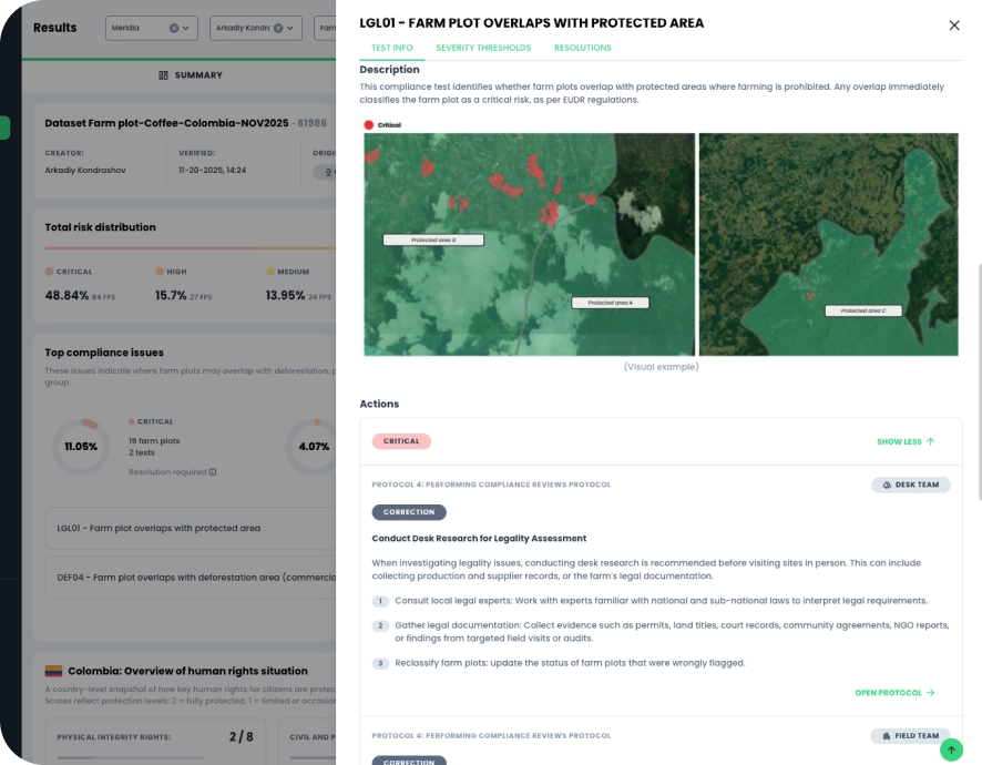
We can identify farm plots that pose legal risks in your supply chain. Land use and environmental rights are complex in many countries. Local laws can permit certain types of agriculture and practices in specific areas or may include conditions for agricultural production.
Our legality tests assess compliance with specific EUDR-related legality aspects, including protected area restriction and Indigenous and local community land rights. These checks help you identify where additional supporting documentation is required to meet EUDR due diligence requirements.
The tests focus on the geospatial elements of lawful production relevant to EUDR compliance and do not address every aspect, such as human and labour rights.
Data quality assessment for EUDR compliance
Ensuring data quality is the first step for EUDR compliance. You need accurate geospatial data to assess land-use risks associated with commodity production. Despite recent data-collection efforts, field data often contains significant issues.
Verify checks different aspects of data quality. Based on the risk assessment, users can quickly identify farm records marked as "critical risk" that need immediate attention. The results also include less urgent issues that you can address later.
Data quality tests help prepare for submission to EUDR systems and potential checks by a competent authority.
Integrity
Integrity tests evaluate the quality of each farm plot record. They look for major issues that could affect processing, analysis, or interpretation. Not all problems warrant concern, but some may require prompt attention.
Consistency
Consistency tests review farm plot records in a dataset. They look for consistency and identify conflicts or contradictions. Not all issues with internal consistency require immediate action.
Plausibility
Plausibility tests evaluate the accuracy of farm plot data in relation to its context. Even if there are no technical problems or internal conflicts, the data may still appear implausible in context.
Traceability risk assessment (consulting add-on)
Between the farm gate and the EU import point, a “parcel” (of physical commodity) passes through several processing or aggregation steps. Each step increases the complexity of maintaining a credible chain of custody.
We offer a traceability data verification service—a consulting-based traceability assessment—designed to help clients understand risks in their traceability data and documentation. It provides risk insights and practical recommendations to strengthen existing traceability practices and due diligence processes.
We evaluate the reliability of existing data through tests of data integrity, consistency, and plausibility, and review the overall quality of supporting documentation to strengthen due diligence and audit readiness for EU National Competent Authorities and leading end-to-end compliance platforms such as ICE CoT.
We assess:
Data integrity
Whether parcel identifiers, sourcing records, and chain-of-custody links are internally consistent and verifiable.
Investigates the general quality in documentation, i.e., completeness, legibility, and suspicious patterns
Data consistency
Whether traceability information aligns across suppliers, intermediaries, and facility records.
We verify the documented dates and commodity volumes for each transaction in the supply chain, ensuring that events occur in the correct sequence and are fully accounted for, with no undocumented product additions.
Data plausibility
Whether reported supply chain flows and sourcing relationships are realistic based on known production and trade patterns.
When the volume cannot be determined with high precision—for example, during product modification—volume changes are investigated using predetermined, country- and commodity-specific (critical) ratios.

ICE CoT-ready data
When the volume cannot be determined with high precision—for example, during product modification—volume changes are investigated using predetermined, country- and commodity-specific (critical) ratios.
Risk scoring made simple
Each farm receives a single, actionable risk score that consolidates more than 30 tests per record into a concise, intuitive output. High-risk areas are highlighted, making it easy to prioritise corrective action and demonstrate risk mitigation to authorities or partners.

Our methodology produces risk scores that allow users to:
- Detect and prioritise farm plots or suppliers that are not compliant with the EUDR
- Review detailed risk context and remediation recommendations
- Engage suppliers effectively through data-driven insights
- Provide credible, verifiable evidence of compliance progress to buyers, coalitions, and regulators
Risk score reclassification
Built into the query builder, users can flag, review, and reclassify farm plots directly from the map or results table—adding evidence, notes, and a full audit trail for complete traceability. Access is restricted to portal admins to ensure control and compliance, while still enabling local nuance and field-based corrections.
This feature strengthens due diligence documentation, reduces false risk signals, and aligns with EUDR requirements by ensuring that classification decisions are transparent, defensible, and integrated into future analyses.
Book a demo
Would you like to see how it works for your context? Book a demo for a personalised walkthrough.
Key questions and answers
No. Meridia Verify is a risk assessment and mitigation platform designed to help operators and traders prepare for EUDR compliance. It supports due diligence by identifying, assessing, and mitigating deforestation and legality risks in supply chains, but it is not an end-to-end solution for demonstrating compliance under Regulation (EU) 2023/1115.
No. The EUDR legality component focuses on selected geospatial and documentation-related aspects of lawful production that are most relevant to EUDR compliance. It does not fully comply with all legal requirements under Article 3(b) and related due diligence obligations.
No. Meridia Verify offers a consulting-based traceability assessment to identify data gaps and inconsistencies and provide recommendations for improvement. However, it does not function as a traceability recording system and, on its own, does not fulfil EUDR traceability requirements.
Each operator or trader remains solely responsible for conducting due diligence and demonstrating compliance with the EUDR. Meridia Verify provides tools and data to support these processes, but does not replace the user’s legal obligations.
No. Risk assessment and mitigation outcomes on Meridia Verify are intended for the client's use and its upstream suppliers, which have Meridia Verify user accounts only. They are not designed or permitted to be shared with downstream customers to support their due diligence or audit processes. Meridia does not respond to downstream customer requests regarding these results.
Yes, Meridia may respond to requests from competent authorities, but only regarding its direct clients. Any such responses are limited to client-related information and may not, by themselves, fulfil compliance obligations under the EUDR.